
The bridge removal work on the Roanoke Canal Trail will now allow visitors to see another part of the structural history linked to the days of its use for navigating goods.
Greg Brown of the Roanoke Canal Commission said Thursday, “One of the intents of this project is to remove this rotten bridge and highlight a historical stone structure that functioned as a surge control wall and a spillway.”
Brown said there are two notches in the top of the stonewall that released water from the canal. “One of the big issues during the development and operation of the canal were times during heavy rainstorms when the canal would flood and would wash out the retaining walls on the side of the canal.”
It was a frequent occurrence and one of the factors, along with the advent of the railroads, which led to the demise of the canal.
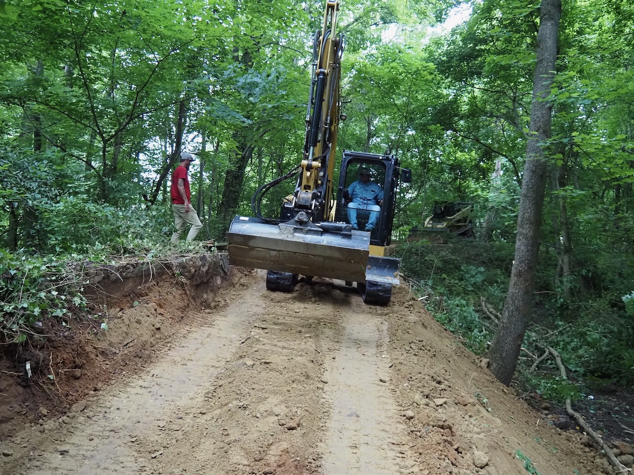
The existing bridge, which is now demolished through the work of Rightmyer Machine Rentals, hid the spillway. “So our intent is to remove the bridge, regrade the trail, clean up the vegetation off the spillway and put a historical information sign on the spillway.”
On maps outlining the visible structural features on the trail, the spillway is noted as surge control, Brown said. “With the elevation of the bridge, people didn’t know this was here because … once this was covered up in vines you could walk it 50 times and never know it was here.”
-
 Click to open image!
Click to open image!
Click to open image!
-
Click to open image!
Click to open image!
-
Click to open image!
Click to open image!
-
Click to open image!
Click to open image!
-
Click to open image!
Click to open image!
-
Click to open image!
Click to open image!
-
Click to open image!
Click to open image!
-
Click to open image!
Click to open image!
-
Click to open image!
Click to open image!
-
Click to open image!
Click to open image!
-
Click to open image!
Click to open image!
-
Click to open image!
Click to open image!
-
Click to open image!
Click to open image!


https://www.rrspin.com/news/7460-trail-bridge-removal-brings-historic-structure-into-view.html#sigProIdd43068f6fe
Five-year plan
Brown credited Parks and Recreation Maintenance Supervisor Ryan Newsome for coming up with the bridge removal plan.
“We’ve been in the process of eliminating as many as we can on the trail,” Newsome said. “If you get rid of the wooden bridges and put in culverts and natural surface dirt over top of it, for one thing, it’s permanent, it doesn’t rot, you don’t have to replace boards every 10 or 15 years. There’s no weight restrictions on it so it gives us better maintenance access.”
The elimination of the bridges is also better for emergency access, Newsome said. “Any time you’re going down the trail and hit a wooden bridge that’s the end of vehicle access. Any time we can eliminate a wooden bridge it extends the range for emergency vehicles.”
In the past two years four bridges have either been repaired or replaced and the project underway at the River Road portion of the trail heading to Roanoke Avenue is the fifth.
Over the course of the next five years Newsome said the department and the commission would like to see the entire 7 ½ miles of the trail resurfaced. “Over time, the trail has eroded in places and exposed rocks and roots. It makes it a little more difficult for bikes and strollers and even some walkers and runners. It creates some hazards.”
Newsome said the department has received donations from Vulcan Materials and the Halifax County Convention and Visitors Bureau has made contributions with the resurfacing as well as bridge replacements. “We have two main goals and that’s to preserve the history of the trail and make it as accessible as possible.”
HCCVB participation and parks department perspective
Lori Medlin, president and CEO of the HCCVB, said, “We are very fortunate in this community to have a 7-mile long greenspace connected at each end — one end with a park on Roanoke Rapids Lake and the other at River Falls Park on the Roanoke River. That is a wonderful thing for the quality of life. It’s a really great selling point when people come into our community to work and relocate.”
From a tourism perspective, Medlin said, “People are often wanting to get off that highway and take a walk and enjoy the parks at each end. Some people are really interested in the architecture and the history of the canal. We’re really fortunate that the early people involved in this project thought to preserve it as a connected space.”
Medlin also noted the underground railroad history of the trail which has surfaced over the last several years. “Freedom seekers and enslaved people helped build the canal and then used the canal to seek freedom.”
Medlin said the trail is often referred to as the longest museum in the state and has the accompanying museum off Roanoke Avenue. “It tells our story as it relates to the river from Native American times through now, the Industrial Revolution, the Civil War — it’s just a really interesting time capsule of our history and people should be very proud of that museum and try to explore it more.”
The HCCVB is a major funder of the bridge removal and replacement, Medlin said. “Every year we contribute to the maintenance of the canal trail to keep it available for our visitors. Just about every year we’ve been doing a big project for the trail.”
She said ideas for the future are in the works including a new bike-lending program with digitally-controlled bikes so a user can check them out themselves like many metropolitan areas are doing. “We were hoping to do that this year and it didn’t come through. We have to work with the canal commission on that so hopefully next year we can get that in place.”
Medlin said the work currently underway on the trail and helping to make the spillway more visible is another added bonus for visitors.
Parks and Recreation Director John Simeon said once the work is completed, the department will put crush and run down and will continue to address the top layer of the trail to enhance stability. “To be able to have this project be two-fold and to be able to take the bridge out and make it safer, now we’ll be able to uncover a little bit of history and mark it and identify it for people on the trail.”