

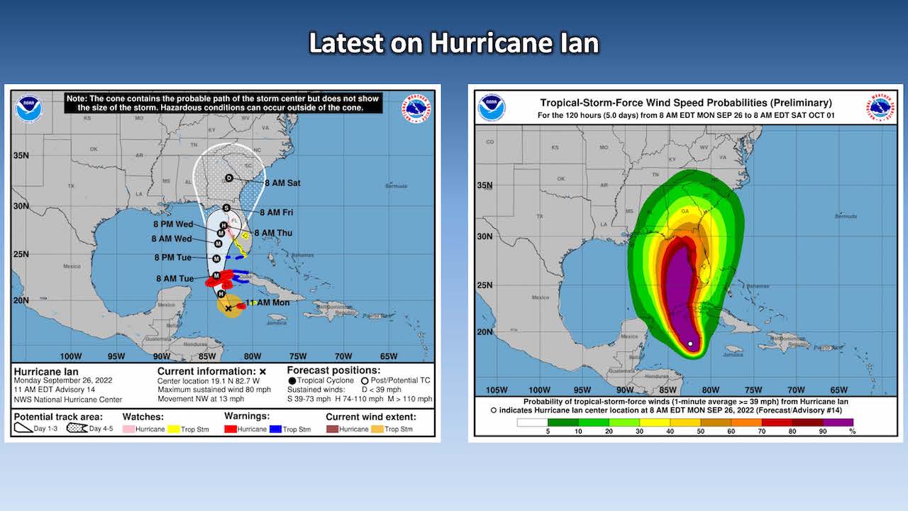
The National Weather Service Raleigh Bureau expects Hurricane Ian to rapidly strengthen over the next day or so.
In its afternoon briefing the NWS said Ian is currently a Category 1 storm with sustained winds of 75 miles per hour.
The agency said, however, uncertainty exists in the eventual track of the storm but confidence is increasing that the local area will see wet and windy conditions related to Ian.


Current forecasts suggest that Friday and into Saturday is expected to be the wettest and most impactful period for the storm in central North Carolina.
Total rainfall of 2 to 4 inches is expected through next Monday with possibly higher local amounts.
There is also a slight chance for localized flash-flooding across the area Friday and into Saturday.


