

The National Weather Service this afternoon indicated a shift in the strongest possibilities of heavy rain associated with Hurricane Idalia.
Earlier forecasts had indicated the highest totals of rain from the storm would be in a line from Charlotte to Roanoke Rapids.
While Halifax County remains under a flood watch, the NWS has placed a tropical storm warning for Sampson, Cumberland, Hoke and Scotland counties.


The highest amounts of rain now appear to be in Sampson County and nearby areas with 7 inches of rain possible.
The Raleigh bureau of the NWS says there remains a chance of 3 to 6 inches of rain and the subsequent risk for flash flooding along and east of I-95.
There are tornado risks in the extreme southeast part of the state in a line from Laurinburg, Fayetteville, and Goldsboro.
Sustained winds of 15- to 30-miles per hour are expected over much of central North Carolina with much of the highest winds along and east of Highway 1.
Isolated gusts of 30- to 40-miles per hour are expected with isolated gusts over that amount possible in the far southeast.
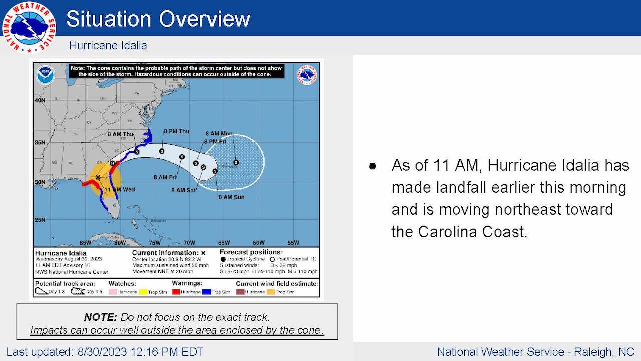
The NWS said Idalia made landfall in Florida and is moving northeast toward the Carolina coast.


