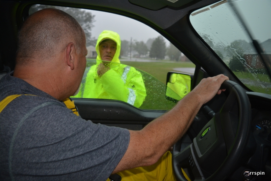
As of this report, Roanoke Rapids Public Works Director Larry Chalker said five trees have fallen, three taking out power or telephone lines.
Chalker said as wind and rain continues, more trees are expected to fall.
Rochelle Pond is rising out of its banks. The department opened the valve at the Rochelle Pond dam two days ago to keep the pond level, Chalker said. A cap designed to keep out trash is doing its job.
Water collects near Park Baptist Church.
In areas particularly hard hit during the flood of 2012, waters were again rising. Those areas around Carolina Avenue are some the lowest in the city. He said the city will log those areas and report the issue to its engineers. “We can come back and evaluate it. We know it’s a low area. Our engineers can look at it.”
Chalker said with the amount of rain there is the further possibility of flooding. “Once the rains stop the water is going to go down.”
Several roads in the county are flooded, said Lieutenant Dennis Coley of the sheriff’s office. “The south end is a royal mess. There’s not a road I’ve been on that’s not covered.”
Coley said he considers Thirteen Bridges Road between Enfield and Scotland Neck impassable. Highway 481 from Interstate 95 and Ward’s Crossroads is under water. “Highway 258 from the Edgecombe County line is dangerous. There is water up and down Ringwood Road.”
Beaverdam and Justice Branch roads have bad spots as does White Fork Road in the Scotland Neck area.
There have been a couple of cars which have hit trees blown down, Coley said.
Coley said his best advice is to stay home until the storm passes. “There’s nothing out here worth coming out to see. We’ve had a couple of people skid off the road. As it get darks you can’t see the water, you can’t see the trees. I’d strongly advise to stay home.”
He also encouraged pet owners to check their animals as there have been reports of animals chained outside. “If the yard’s flooded their dog houses are flooded.”
Sheriff Wes Tripp said there was flooding at Pierce's Crossroads. “If you don’t have to be out, don’t go out.”
In its latest briefing at 5:15 p.m., the National Weather Service said the highest and heaviest winds associated with the storm should move east of Interstate 95 by midnight.
Widespread flash and areal flooding will continue this evening and tonight.


